GSA Today
Volume 31, Issue 9
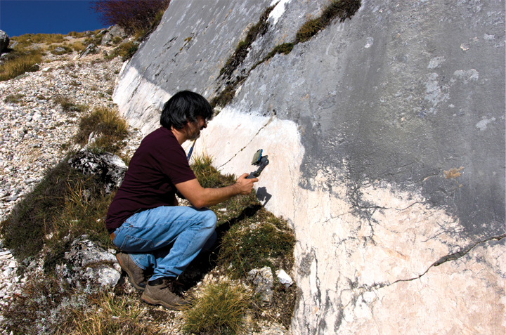
Bedrock fault plane with freshly exposed free-face exhumed during the Oct. 2016 MW 6.5 Norcia earthquake (Italy). The fault surface topography is imaged at submillimeter resolution using a smartphone, a gimbal stabilizer, and a compass. The acquired images coupled with the proposed workflow were used to produce a fully georeferenced 3D model.
© The Geological Society of America, Inc.